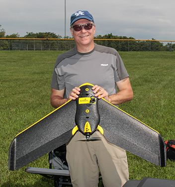
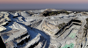
Web Mapping Portfolio

James Coil - MAP673

Web, Static, & On-line Maps
and maybe a UAV Ortho-mosaic

Quarry

Interactive Quarry

UAV's and photogrammetry software create a 3D model that can be used to calculate the volume of a stockpile and contour lines. This page provides a way to deliver that information.
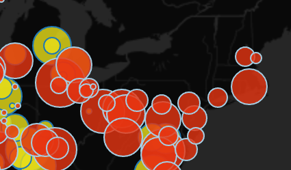
Dual fuel power generation

Power Generation

This interactive map shows the locations, energy by fuel and relative output for United States Power Stations that use two specified types of fuel.

Kenya

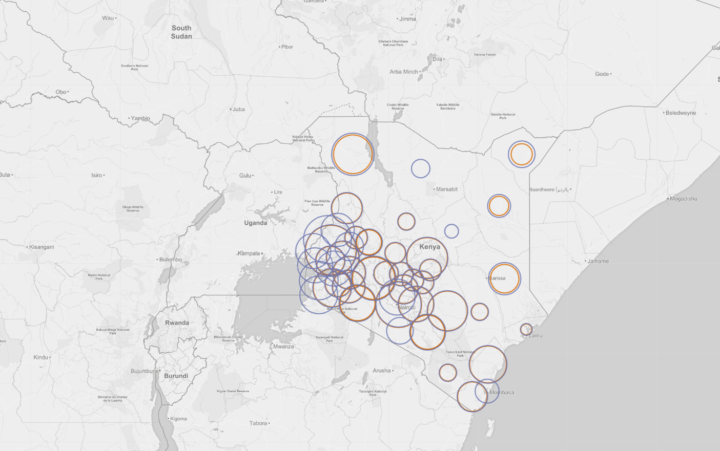
Kenya School Enrollment

Kenyan School Enrollment by Gender and Grade - 2014

KY Wildfires

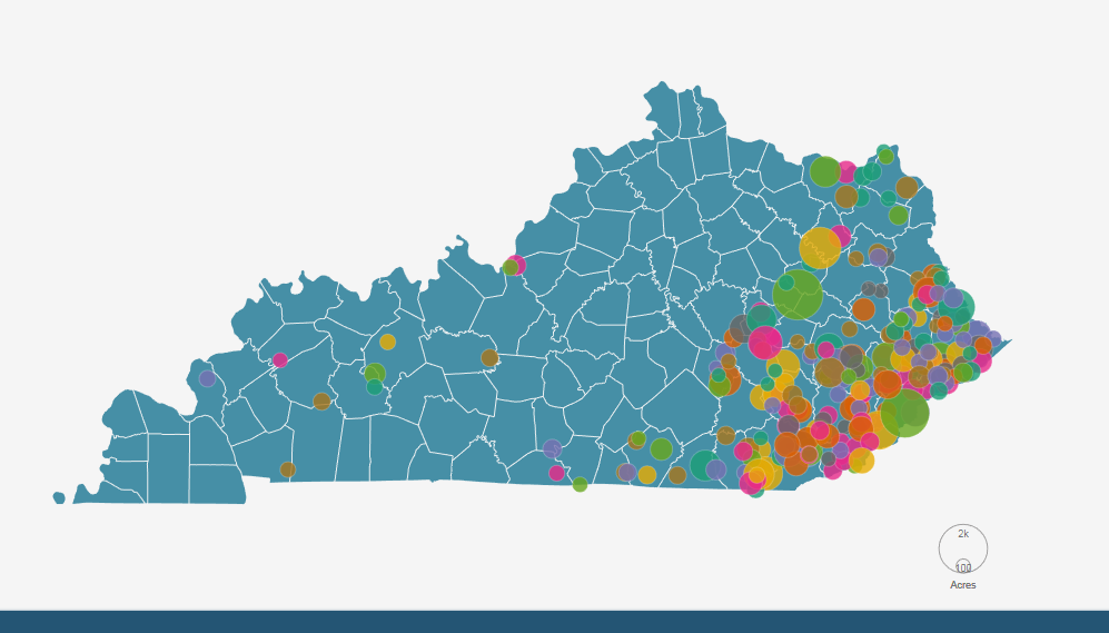
Wildfires in Kentucky 2000-2013

Large Wildfires in Kentucky 2000 - 2013 by cause and size
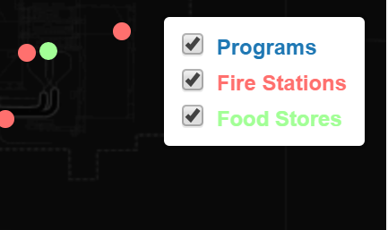
Denver Amenities

Denver Amenities

An Interactive Map showing after school programs, fire stations and food stores in the Denver metropolitan area.

Owensboro Kentucky

My Hometown
Owensboro KY

Owensboro Kentucky is the BBQ Capital of the World. A couple of signature restaurants are marked along with other points of interest. My old bike route to work is included for fun.

About me

I'm James Coil, I'm new to Web Mapping but the New Maps Plus program at UK has filled me with knowledge of Leaflet, JavaScript, CSS and HTML and I'm ready to go. I'm specializing in the use of Unmanned Aerial Vehicle (UAV) collected mapping data.

If I'm not flying UAV's or making cool maps, I put a lot of effort into staying healthy by eating well and exercising (a hobby of sorts), I also like darts, live music and shaving with a straight razor.

Tools

GIS
QGIS for data analysis and feature extraction
Global Mapper for multi-source outputs and format conversion
PostGIS/SQL database
Web Mapping
Leaflet for raster tilesets, basic thematic mapping, and application development
Coming soon - D3.js for advanced infographics and map projections
Coding
JavaScript